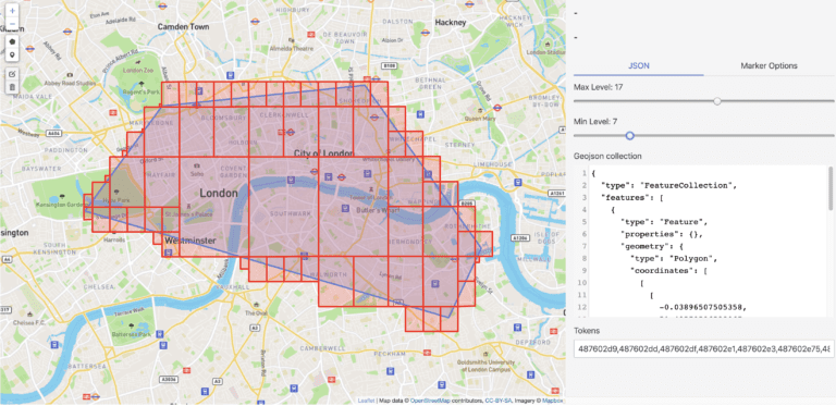
GeoJSON is an open standard format designed to represent simple geographical features and their non-spatial attributes. It is based on the JSON format. The features include points (therefore addresses and locations), line strings (therefore streets, highways, and boundaries), polygons (countries, provinces, tracts of land), and multi-part collections of these types. GeoJSON features need not represent entities of the physical world only; for example, mobile … What Is The GeoJSON Format? okumayı sürdür
