What Is The GeoJSON Format?
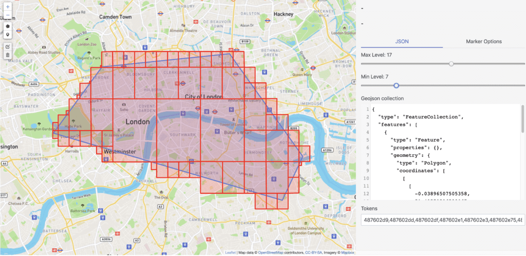
GeoJSON is an open standard format designed to represent simple geographical features and their non-spatial attributes. It is based on the JSON format.
The features include points (therefore addresses and locations), line strings (therefore streets, highways, and boundaries), polygons (countries, provinces, tracts of land), and multi-part collections of these types. GeoJSON features need not represent entities of the physical world only; for example, mobile routing and navigation apps might describe their service coverage using GeoJSON.
The GeoJSON format differs from other GIS standards in that it was written and is maintained not by a formal standards organization but by an Internet working group of developers.