Haritalamanın Yeni Yüzü: Hex Grid Nedir ve GIS Sistemlerinde Neden Tercih Edilir?
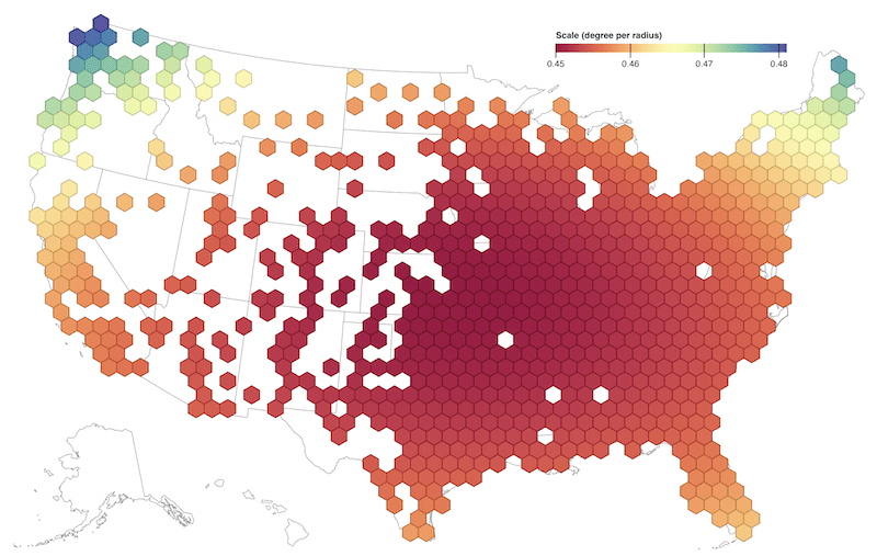
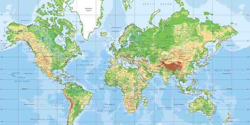
Coğrafi Bilgi Sistemleri (GIS) dünyası sürekli yenileniyor ve verileri daha etkili ve anlaşılır şekilde sunmak için farklı yöntemler geliştiriyor. Son zamanlarda popülerliği hızla artan yöntemlerden biri de Hex Grid (altıgen ağ) sistemidir. Hex Grid Nedir? Hex Grid, altıgen şekilli hücrelerden oluşan ve alanı tamamen kaplayan geometrik bir ağdır. Kare ya […]