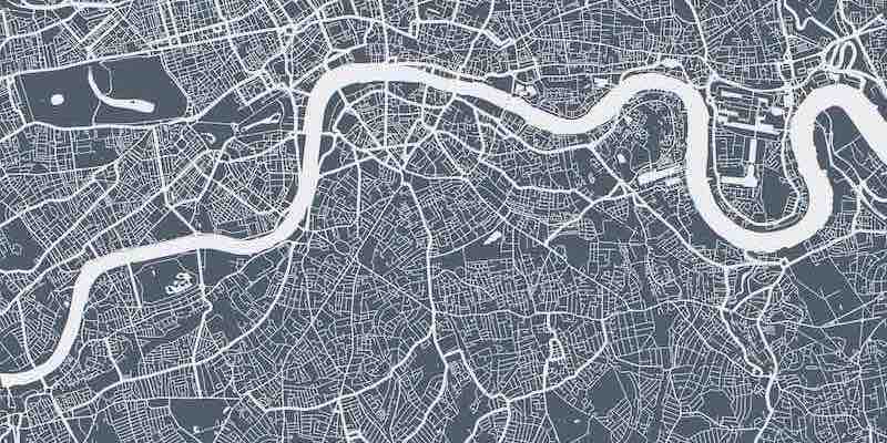
Mapping the Future: Unveiling the Best Tools and Techniques for Urban Planning

In the rapidly evolving sphere of urban development, the role of urban mapping cannot be understated. Urban mapping refers to developing, gathering, and evaluating spatial data and information in urban environments, a critical step in making informed urban planning and development decisions. The Urban Design Lab delineates the various tools and techniques pivotal in comprehending and managing the complexity of urban environments. Here, we delve into the highlights of this insightful article.
Geographic Information Systems (GIS)
GIS is a cornerstone in urban mapping, facilitating spatial data creation, management, and analysis. This technology encompasses various information, including infrastructure, transit systems, land use, and demographic and socioeconomic data. GIS aids in creating comprehensive maps of urban areas, analyzing patterns and trends, and fostering the development of smart cities by optimizing city services based on data on urban dynamics.
Remote Sensing
Remote sensing has revolutionized urban development by enabling data collection about the Earth’s surface from a distance. This technology, which evolved significantly during the space age, assists in constructing detailed maps of urban areas, monitoring changes over time, and contributing to the development of smart cities by optimizing various city services based on urban dynamics data.
Field Surveys
Field surveys are an indispensable tool in urban mapping, involving physical data collection through interviews, measurements, and sample gathering. These surveys provide critical information on land use, infrastructure, the built environment, and social and economic conditions in urban areas, informing urban planning and development decisions.
3D Modeling and Visualization
3D modeling and visualization are powerful tools in urban mapping, creating realistic and accurate representations of urban areas. These tools aid in constructing comprehensive digital models of urban areas and producing virtual reality simulations of urban environments, which can be utilized to explore various urban design options and their potential impacts.
Social Media Analysis
Social media analysis is emerging as a vital tool in urban mapping, offering insights into urban dynamics by analyzing data from platforms like Twitter, Facebook, and Instagram. This analysis can help understand patterns of land use and activity in urban areas and gather information on public sentiment and opinion regarding urban spaces.
Network Analysis
Network analysis helps understand the relationships between various elements in an urban environment, including social, economic, and transportation networks. This analysis can identify important nodes and linkages in a city, influencing urban planning and design decisions.
Urban mapping tools and methodologies are essential in understanding and managing urban environments. By integrating tools like GIS, remote sensing, field surveys, 3D modeling, social media analysis, and network analysis, urban planners and decision-makers can comprehensively understand urban environments and make informed decisions regarding urban planning and development.
To explore these tools and techniques, visit the full article on Urban Design Lab.