Map Management: A Guide to Maintaining and Updating Maps
Keep your maps up-to-date and accurate for improved efficiency and safety
Maps are an essential tool for navigation, logistics, and other applications. However, maps can quickly become outdated, inaccurate, or incomplete. This can lead to problems such as drivers getting lost, deliveries being delayed, and accidents occurring.
Map management maintains and updates maps to ensure they are accurate and up-to-date. This can be a complex and time-consuming process, but it is essential for ensuring the safety and efficiency of map-based applications.
Understanding Maps and Map Data
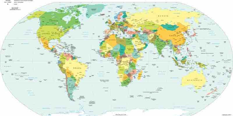
A map represents a physical space, such as a city, country, or region. Maps can be created using various methods, including satellite imagery, aerial photography, and ground surveys.
Map data is the information that is used to create a map. This data can include the location of roads, buildings, landmarks, and other features. Map data can be collected from various sources, including government agencies, private companies, and crowdsourcing initiatives.
Importance of Accurate Map Data
Accurate map data is essential for a variety of applications, including:
- Navigation: Drivers, cyclists, and pedestrians rely on accurate maps to find their way around.
- Logistics: Businesses use maps to plan routes for deliveries and shipments.
- Emergency services: First responders use maps to locate incidents and coordinate their response.
- Government planning: Governments use maps to plan development, transportation, and other projects.
Different Tools and Platforms for Map Management
Several tools and platforms can be used for map management. These tools can collect, edit, and update map data. They can also be used to create and publish maps.
Some of the most popular tools and platforms for map management include:
- ArcGIS: ArcGIS is a suite of Esri software used for geographic information systems (GIS). ArcGIS includes tools for collecting, editing, and analyzing map data.
- QGIS: QGIS is an open-source GIS software that can be used on Windows, Mac, and Linux. QGIS is a free alternative to ArcGIS.
- Mapbox: Mapbox is a platform that provides tools and services for creating and publishing maps. Mapbox can be used to create custom maps for a variety of applications.
Summary
Map management is a complex and vital process. By keeping maps up-to-date and accurate, you can improve the safety and efficiency of map-based applications.