Mapping the growing role of geospatial intelligence From Geomarketing to zone-based pricing, route planning to supply chain optimization, discover how leading companies use geospatial data to their advantage. In today’s challenging market, every business is searching for ways to do more with less. Geospatial intelligence is proving an invaluable tool […]
Devamını Oku
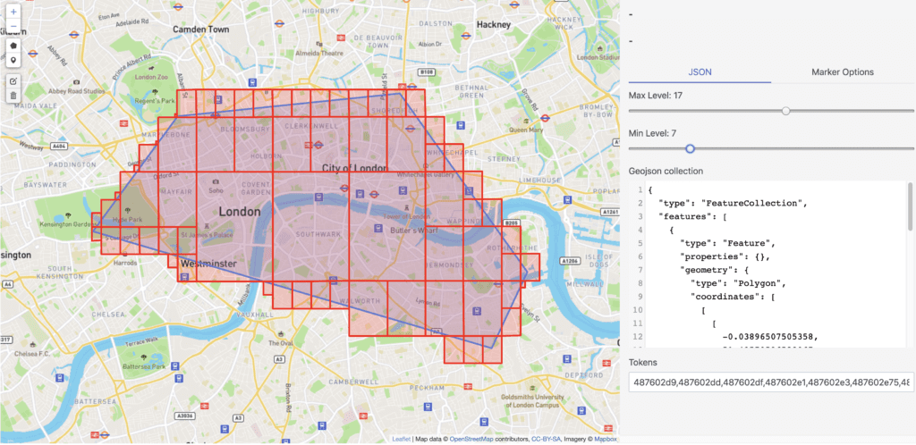
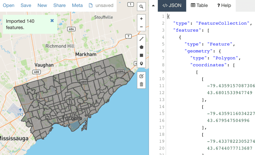
GeoJSON is an open standard format designed to represent simple geographical features and their non-spatial attributes. It is based on the JSON format. The features include points (therefore addresses and locations), line strings (therefore streets, highways, and boundaries), polygons (countries, provinces, tracts of land), and multi-part collections of these types. GeoJSON features need not represent entities of the physical […]
Devamını Oku
Internet Engineering Task Force (IETF) H. Butler Request for Comments: 7946 Hobu Inc. Category: Standards Track M. Daly ISSN: 2070-1721 Cadcorp A. Doyle S. Gillies Mapbox S. Hagen T. Schaub Planet Labs August 2016 The GeoJSON Format Abstract GeoJSON is a geospatial data interchange format based on JavaScript Object Notation […]
Devamını Oku