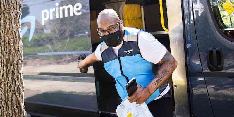
Amazon is using real-time data to reroute drivers and keep packages moving. The company’s new Fleet Edge technology automatically detects changes in roads, traffic signs, and highways. This information then updates Amazon’s mapping software, providing drivers with the most up-to-date routing data. How Fleet Edge Works Fleet Edge uses various […]
Devamını Oku
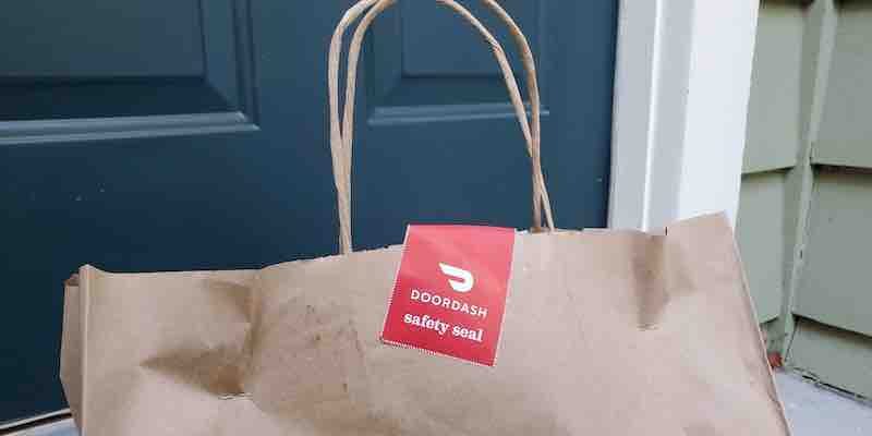
DoorDash needed a way to predict demand for food deliveries. DoorDash is a food delivery company that operates in over 4,000 cities across the United States. The company faces the challenge of predicting demand for food deliveries. This is a difficult task, as the order can vary depending on many […]
Devamını Oku
İstanbul, Türkiye – 14 Haziran 2023 Türkiye’nin öncü bulut mutfak girişimi Paket Mutfak 1.5 milyon dolar yatırım aldı. Nokta Yatırım Holding’in liderlik ettiği tura Ünlü Portföy Yönetimi Ar-Ge GSYF, Commencis Kurucu Ortağı Fırat İşbecer, STFA Grubu Yönetim Kurulu Üyesi Sezai Taşkent ve Ünlü & Co Yönetim Kurulu Üyesi İbrahim Romano […]
Devamını Oku
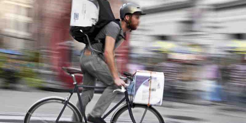
Improve your delivery operations by optimizing routes and managing maps Route optimization and map management are two critical aspects of delivery operations. By optimizing routes and managing maps, you can improve the efficiency and accuracy of your deliveries. Best Practices for Implementing Route Optimization and Map Management There are several […]
Devamını Oku
A behind-the-scenes look at how we match Dashers with orders At DoorDash, we constantly look for ways to improve the customer experience. One of the most critical aspects of the customer experience is the speed of delivery. We want to ensure our customers get their food as quickly as possible. […]
Devamını Oku
Patty’s Cakes and Desserts, a retail storefront bakery in Fullerton, California, faced a significant challenge when delivery demand quadrupled during the pandemic. The company previously used a third-party delivery service, but when the pandemic hit and the service shut down, Patty’s Cakes and Desserts was left without a delivery option. […]
Devamını Oku
What Is Geo-Clustering? Geoclustering is a technique that allows the grouping of spatial data into clusters based on their similarity and proximity. Geoclustering can be helpful in various applications, such as analyzing customer behavior, optimizing delivery routes, detecting anomalies, or planning disaster recovery. Geoclustering can be performed using different methods, […]
Devamını Oku
The DoorDash app provides its customers with real-time updates on their delivery status. The app has been using GPS information from the Dasher’s phone, combined with manual updates from the Dasher to indicate their progress, such as arriving at the restaurant or picking up the food. To enhance the accuracy […]
Devamını Oku
The Georgia state legislature is considering Senate Bill 34, which aims to standardize food delivery services in the state. The bill would require delivery services to enter into a contract with the restaurant, get permission to use the restaurant’s name or logo in marketing, maintain clean food holding areas and […]
Devamını Oku
On the positive impacts of favoring local produce: “It’s easy to see a carrot as this thing that shows up on your plate, and that’s all it is. I mean, obviously, there’s so much more behind that. There are the growing practices; there’s the caretaking of the land. There are […]
Devamını Oku