İstanbul, Türkiye – 2 Kasım 2022 Türkiye’nin öncü bulut mutfak girişimi Paket Mutfak 3 milyon dolar yatırım aldı. Yatırım turuna Nokta Yatırım Holding, İGA (İstanbul Havalimanı) CEO’su Kadri Samsunlu, TikTak kurucusu Ersan Öztürk ve şirketin mevcut hissedarları katıldı. Bu yatırımla beraber Paket Mutfak’ın aldığı toplam yatırım miktarı 4.3 milyon dolar […]
Devamını Oku
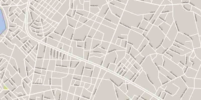
SRID stands for Spatial Reference Identifier, a unique identifier assigned to a spatial reference system used in Geographic Information Systems (GIS). SRIDs define the coordinate system, projection, and geographic location of the data being used in a GIS system. SRIDs are used in maps like Google Maps and Yandex Maps […]
Devamını Oku
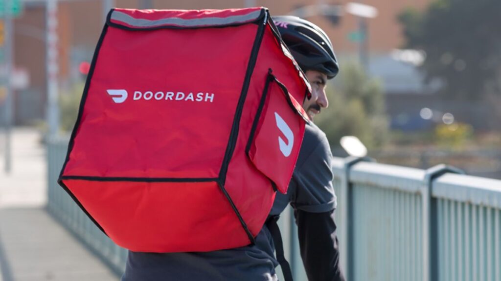
The concept of ghost kitchens or commercial spaces that are explicitly used for takeout and delivery rather than in-restaurant dining has been around for decades. However, the rise of food delivery platforms like UberEats, Grubhub, and DoorDash in the 2010s has led to a significant increase in the popularity and […]
Devamını Oku
Mapping the growing role of geospatial intelligence From Geomarketing to zone-based pricing, route planning to supply chain optimization, discover how leading companies use geospatial data to their advantage. In today’s challenging market, every business is searching for ways to do more with less. Geospatial intelligence is proving an invaluable tool […]
Devamını Oku
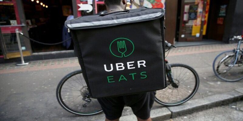
As a DoorDash customer, you should always know where your order is in the delivery journey. Whether the Dasher is on the way to the restaurant, waiting for your food, or nearing your location, the DoorDash app keeps you up to date every step of the way. In the past, […]
Devamını Oku
A navigation mesh, or Navmesh, is an abstract data structure used in artificial intelligence applications to aid agents in pathfinding through complicated spaces. This approach has been known since at least the mid-1980s in robotics, where it has been called a meadow map, and was popularized in video game AI […]
Devamını Oku
The traveling salesman problem (also called the traveling salesperson problem or TSP) asks: “Given a list of cities and the distances between each pair of cities, what is the shortest possible route that visits each city exactly once and returns to the origin city?” It is an NP-hard problem in […]
Devamını Oku
Parcel Shuttle: Bringing green delivery to Berlin and beyond with intelligent microgrids Parcel Shuttle radically lowers delivery travel distance, slashes distribution times by 25%, and reduces its carbon footprint with the Google Maps Platform. In Berlin’s urban bustle, delivery vans are as ever-present as the city’s famed street art and […]
Devamını Oku
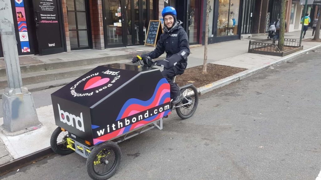
Softbank-backed Reef, which turns parking lots into logistics hubs and ghost kitchens, has acquired a micro-warehousing startup to democratize super-fast delivery. Reef Technology, a Softbank-backed company that turns parking lots into ghost kitchens and logistics hubs, has agreed to acquire its logistics partner, Bond, for an undisclosed sum. Reef, the […]
Devamını Oku
Improve customer satisfaction and reduce costs by predicting delivery times more accurately. Delivery time forecasting is the process of predicting how long it will take to deliver a package. This can be done manually or using a software application. Delivery time forecasting is essential for delivery companies because it can […]
Devamını Oku